 |
|
||||||||
 |
|
|
|
|
|
||||
|
|
|
|
|
||||||
|
|
|
||||||||
Met DataThe following AERMOD-ready meteorological data sets are available for dispersion modeling in Ventura County. These inputs files were processed using AERMET program from Lakes Environmental. They are developed based on the five years data sets covering 1/1/2015 to 12/31/2019 and are from 6 air monitoring stations located in Ventura county and operated by the District. Table below lists the names, locations, and AERMOD ready meteorological data sets of those stations. If you have any questions regarding which dataset is best suitable for your project, you may contact Wunna Aung at (805) 303-3659.
Met Data Sets
For meteorological data sets for Camarillo Airport and Oxnard Airport CLICK HERE.
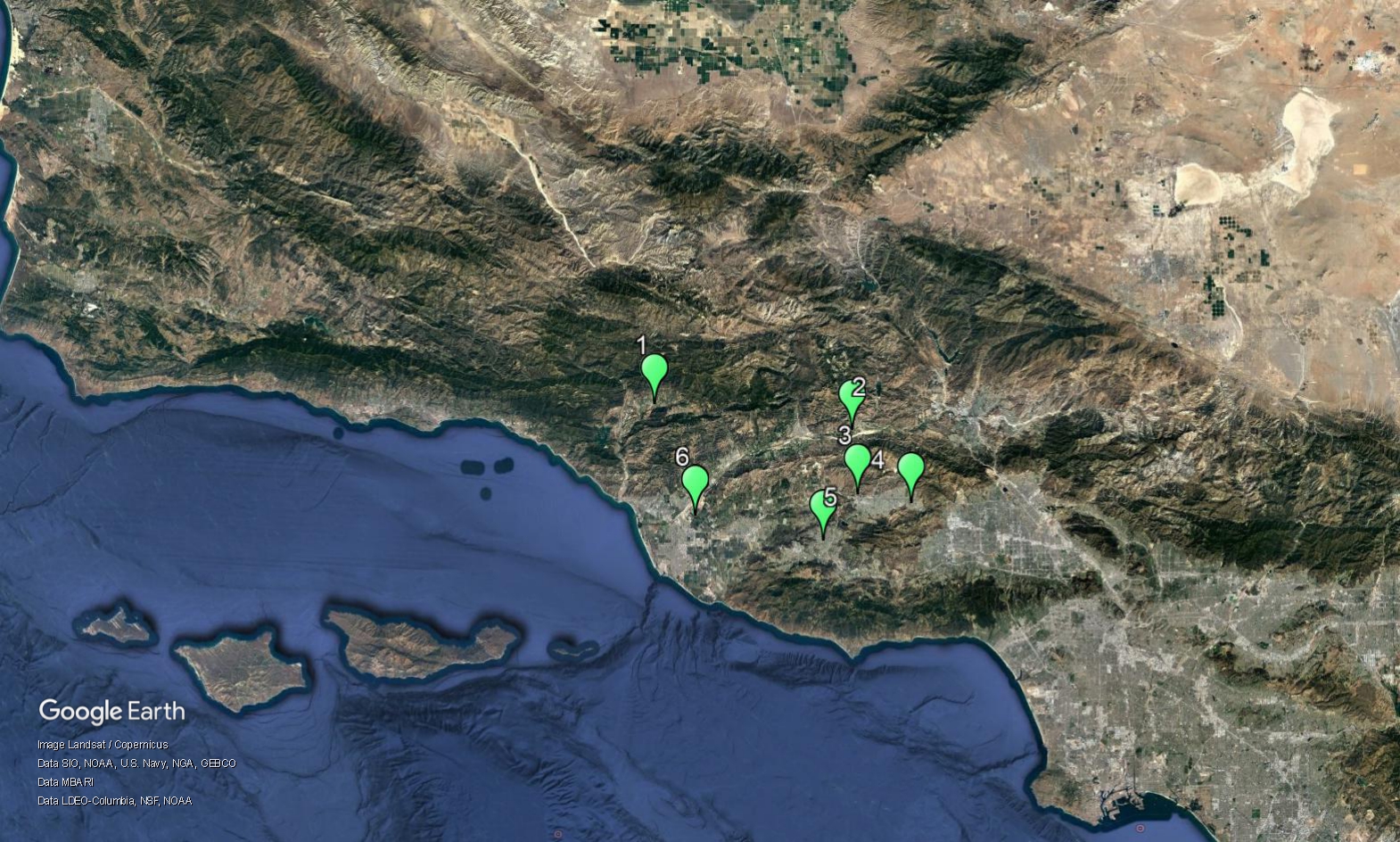
The locations of those stations where the data were processed are shown below.
1- Ojai
If you have any questions, call or e-mail Wunna Aung at (805) 303-3659.
|
||||||||||||||||||||||||||||||||||||
|
All text and images © Copyright, 2006 by Ventura County Air Pollution Control District Site design by VCAPCD Information Systems Division E-mail Webmaster - Privacy Policy - Cookie Policy |
||||||||||||||||||||||||||||||||||||